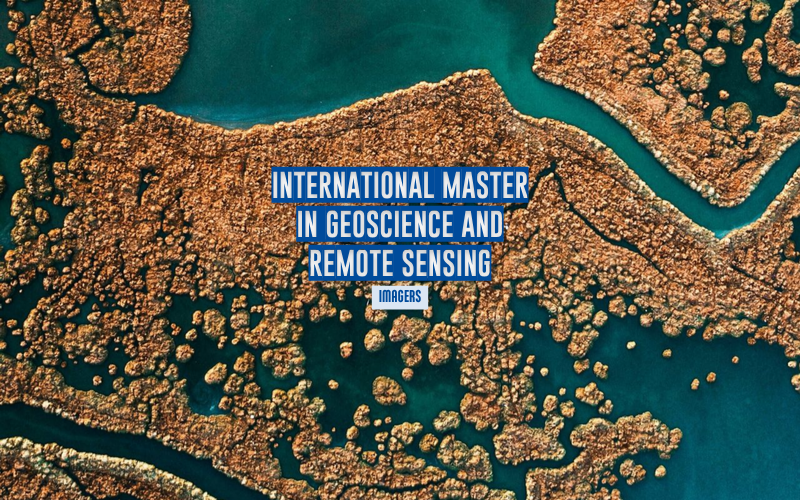
The National School of Energy, Water, and the Environment (Grenoble INP - UGA) is launching IMAGERS (International Master’s in Geoscience and Remote Sensing), an international master’s program combining remote sensing and artificial intelligence to address environmental challenges.
This pioneering international master’s program, which combines remote sensing and artificial intelligence applied to geosciences and Earth observation, aims to train the next generation of engineers and researchers capable of interpreting and anticipating environmental changes on the planet using space-based data.
As climate crises intensify and global geopolitical tensions heighten the stakes surrounding space sovereignty, access to and processing of satellite data have become major strategic levers. This new international master’s program will train experts to address these challenges. It will welcome its first cohort of international students at the start of the 2027 academic year.
A program of excellence to train specialists in spatial and environmental data
The program, led by experts and accredited by the Multidisciplinary Institute for Artificial Intelligence (MIAI Cluster)—a leading center in the field of artificial intelligence—combines high-level technical training—radar and optical remote sensing, big data processing (Big Data and AI)—with a cross-disciplinary understanding of current global challenges: environmental observation and applications in the geosciences.
“Remote sensing is no longer just a simple tool for scientific observation; the contribution of analytical tools derived from artificial intelligence gives it a central role in environmental decision-making,” explains Jocelyn CHANUSSOT, director of the International Master’s program at Ense3. “Whether it’s monitoring deforestation or anticipating natural hazards in mountainous regions, our graduates will be able to transform raw data into a critical decision-making tool.”
Strong Regional Roots Within the Isère Innovation Hub
Located in the heart of the Alps’ “Silicon Valley,” the program draws on a unique ecosystem that brings together renowned research laboratories (Gipsa-Lab, ISTerre, IGE, Inria) and major industrial players ranging from large aerospace conglomerates to New Space startups.
“The Isère region offers an exceptional environment for learning and career opportunities for our students,” adds the school’s administration. “Thanks to the close partnerships forged by Grenoble INP - Ense3 with laboratories and companies, students will benefit from hands-on laboratory experience and internships at cutting-edge organizations, ensuring rapid entry into the workforce in rapidly expanding sectors. ”
Admissions and Eligibility Requirements
The “International Master’s in Geoscience and Remote Sensing” program is open to students who have completed the first year of a master’s degree in data science and have an interest in environmental sciences, mathematics, applied physics, geophysics, and geosciences.
Applications for the 2027–2028 academic year are open
from October 15, 2026, to April 15, 2027, on the official Grenoble INP – Ense3 portal.